LAD102 Awe-inspiring GIS lecture
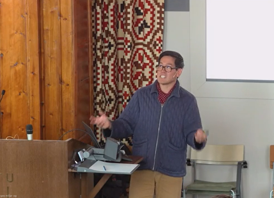
Tin held for the second time, the guest lecture GIS in Practice: Planning, Tools and Bizniz for LAD102 GIS – Introduction at NMBU. Tin was instructed to give an awe-inspiring monologue, and to say the least, Tin never dissapoints. The lecture moved GIS out of the computer lab and into the less orderly worlds of architecture, planning, politics and property development. Drawing on examples from his own competition entries, planning assignments and urban-development projects, Tin demonstrated how geographical data becomes the foundation for drawings, design concepts and commercial arguments. The lecture also examined maps as instruments of persuasion: they may appear objective, but what they include, exclude and emphasise can determine what gets built, what gets approved and where the money might be hiding.
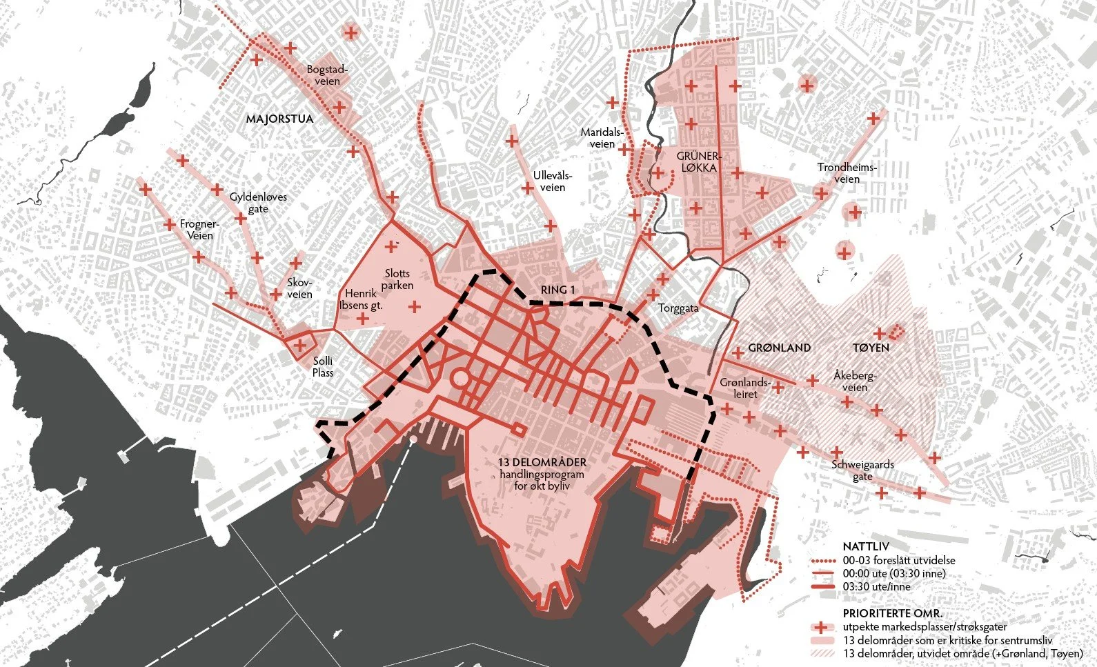
Planning: Most architectural drawings begin with GIS, whether architects admit it or not. Property boundaries, terrain, infrastructure and regulatory provisions form the underlying reality from which plans and 3D models are constructed. This applies equally to major urban developments and somebody’s slightly too tall garage. Bureaucracy is admirably consistent.
Persuasion: Maps do more than show where things are. By selecting and combining information, they construct arguments about where to build, what to protect and whose version of reality should prevail. Examples from Oslo S, Grønlia and ReStart Oslo showed how GIS can support design concepts, commercial strategies and occasional peace negotiations between public agencies.
Bizniz: As usual, Tin presented some of his own multi-million GIS ideas, comparing himself to te founders of Forma in which became millionaires themselves. Norway has spent decades producing detailed, standardised and largely free geographical data. Professionals can use it to examine ownership, housing prices, movement patterns and development opportunities. Everyone else can use it to spy on the neighbour.
The lecture concluded with GIS-based services for property data, housing sales, movement analysis and environmental simulation. GIS may begin with coordinates and map layers, but it eventually helps determine what gets built, what gets approved and where the money might be hiding.
2025 post-lecture: an army of male students, astounded by why Tin had not become a millionaire yet with his bizniz-savvy ideas. The students also could not believe how Tin balanced work-life and how fit he was with his six-days-a-week training regiment.
2026 post-lecture: not the same magnitude of interest, but one female student that actually had questions and reflections upon the GIS examples and what it could mean for her studies onwards. She was not impressed by his bizniz ideas.
-
LAD102 provides a practical introduction to geographical information systems (GIS) and the representation, analysis and presentation of geographical information. It covers geographical data and reference systems, data sources and quality, spatial operations, basic geographical analysis and cartographic presentation. Through lectures and supervised computer exercises, students develop hands-on experience with GIS software while learning the theoretical foundations needed to understand and work with spatial data. The main goal is to enable students to independently perform simple manipulation, analysis and visualisation of geographical information, providing a foundation for applying GIS in further studies. The course is led by professor Terje Gobakken and senior engineer Gunnar Tenge.
-
-
45 min
-
